
- Product Code: 010-C1248-20
- EAN: 753759289423
- Warranty: 2 years
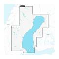
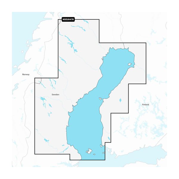
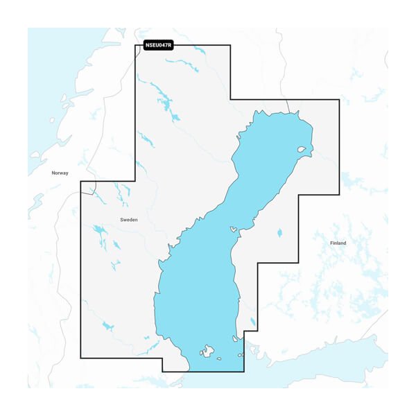
Garmin Navionics+ Gulf of Bothnia - Marine Charts - IT'S A WHOLE NEW LOOK ON YOUR CHARTPLOTTER - Featuring vibrant colours, a streamlined interface and combined coastal/inland content with a popular Navionics style colour palette, Garmin Navionics+ cartography makes it easy to plot your course with the world's No. 1 name in marine mapping.
- Navigate with our best offshore and inland lake coverage for your Garmin chartplotter.
- See it your way. Customise your view with various chart layers and overlay combinations.
- With your included one-year subscription, access daily updates via the ActiveCaptain smart device app.
- Auto Guidance+ technology lets you navigate with suggested dock-to-dock routings.
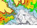
- Select up to 10 colour-shaded target depth ranges to scope out the best fishing spots.
ALL-IN-ONE MAP SOLUTION FOR GARMIN CHARTPLOTTERS - Access detail-rich mapping of coastal features, lakes, rivers and more. Integrated Garmin and Navionics content offers coverage for boaters worldwide.
DAILY CHART UPDATES - Charts are constantly being enhanced with new and amended content - as many as 5,000 updates are made every day. The one-year included subscription gives you access to daily chart updates via the ActiveCaptain smart device app.
AUTO GUIDANCE+ TECHNOLOGY - Combining the best of Garmin and Navionics automatic routing features, built-in Auto Guidance+ technology gives you a suggested dock-to-dock path to follow through channels, inlets, marina entrances and more.
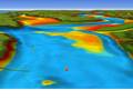
DEPTH RANGE SHADING - High-resolution depth range shading lets you select up to 10 colour-shaded options and view your designated target depths at a glance.
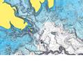
UP TO 0.5 M CONTOURS - For improved fishing and navigation, up to 0.5 m contours provide a clear depiction of bottom structure for improved fishing charts and enhanced detail in swamps, canals, harbours, marinas and more.
SHALLOW WATER SHADING - To give a clear picture of shallow waters to avoid, this feature allows for shading at a user-defined depth.
ACTIVECAPTAIN COMMUNITY - Community-sourced content provides useful POIs, such as marinas, anchorages, hazards, businesses and more. Get recommendations from boaters with firsthand experience of the local environment.
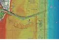
RELIEF SHADING - This detailed shading feature combines colour and shadow to give you an easy-to-interpret, clearer view of bottom structure than contour lines alone.
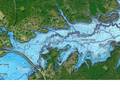
HIGH-RESOLUTION SATELLITE IMAGERY - High-resolution satellite imagery provides superior situational awareness.
Compatible displays:
- Garmin Echomap UHD
- Garmin Echomap Ultra
- GPSMAP 1022/xsv, 1222/xsv, 1222/xsv Plus, 1223/xsv, 723/xsv, 923/xsv, 8410/xsv, 8412/xsv, 8416/xsv, 8417 MFD, 922xsv Plus
Product text updated 26.9.2026.


