
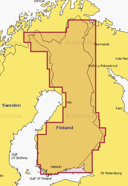
Navionics Gold Finnish Lakes - 1GB card
SonarChart™
SonarChart, our 1'ft contoured chart layer, gives you a detailed view of shallow waters, ledges, humps and more.
Fish Attractors
Fish seek out particular types of habitats where they prefer to nest. In many lakes and coastal waters, angling clubs and fisheries organizations will sink structures to attract fish and encourage a healthy fishery. Navionics charts include more than 10,000 fish attractors.
SonarChartTM Live
With SonarChart Live, you can count on the most up-to-date information because the bathymetry is drawn on the screen of your device in real time. When you create your own maps, you can feel confident that you're making decisions based on the most recent depth data.
Fishing Ranges
Fishing Ranges will help you interpret the structure, identify patterns and focus on where to cast.
Advanced Map Options
Customize your view of Navionics charts to highlight shallow areas, adjust SonarChart™ contour density, and target a fishing range!
SonarChart Shading
A detailed rendering of the seafloor and lake bottoms in varying shades of blue offers anglers clear visual cues to identify fish-holding structure at a glance.