
- Product Code: 010-C1248-00
- EAN: 0753759290221
- Warranty: 2 years
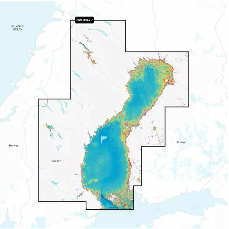
Garmin Navionics+ Vision Bothnian Sea Chart Card EU644L brings a completely new look to your chartplotter. Vibrant colors, a clear interface, and a combined coastal and inland waterway map provide a comprehensive and accurate navigation experience.
The chart enables route planning with the market’s most popular marine charts. You can customize the view with multiple map layers and access daily updates via the ActiveCaptain® app.
Garmin Navionics+ Vision Bothnian Sea - Features:
- Detailed coastal and inland waterway charts
- Auto Guidance+™ technology for route planning
- Depth shading with up to 10 colors
- Depth contours at intervals of up to 0.5 meters
- Shallow water shading
- Compatible with ActiveCaptain®
- Seabed composition color palette
- Relief Shading for enhanced visualization
- High-resolution satellite imagery and aerial photos
- 3D FishEye and 3D MarinerEye views
- Adjustable lake level
This chart card provides a comprehensive solution for Garmin chartplotters. The detailed maps include coastal areas, rivers, and lakes, assisting with both navigation and fishing.
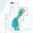
Coverage: The Bothnian Sea and its surrounding areas, including major lakes, rivers, and ports in Sweden and Finland.
Compatible devices: See compatible devices