
- Product Code: 8053800670678
- EAN: 8053800670678
- Warranty: 2 years
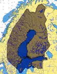
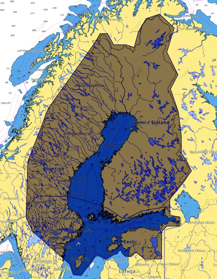
C-Map Reveal - charts bring you the very best of C-MAP, including game-changing Shaded Relief – bringing the world around and beneath you to life in a completely new way – now available everywhere.
Shaded Relif - Bring the world around you to life, with 3D rendered land and underwater elevation – including areas of Ultra-High Res Bathymetric imagery previously only available in MAX-N+ Reveal – a game-changer for anglers and divers.
Full-Featured Vector Charts - Full Featured Vector charts make navigation easy by giving you accurate, up-to-date vector chart detail derived from official Hydrographic Office information.
Hi-Res Bathymetry Layer - High-Res Bathy helps you identify shallow areas, drop offs, ledges, holes or humps by accurate contour lines down to 1-foot level of detail. Includes the very best of C-MAP HRB data, including C-MAP Team Lake Surveys (US only) and Genesis® social maps, quality controlled and fully integrated.
Custom Depth Shading - Custom Depth Shading allows you to set a safety depth, maintain a paper-like view or set your own custom shading – see things your way.
Satellite Overlay - Satellite imagery gives information about the surroundings when you find yourself in an unfamiliar place.
Aerial Photos - A collection of thousands of photos of marinas, harbors, inlets and other notable navigational features included to offer an additional level of detail.
Dynamic Raster Charts - Providing the traditional chart look and feel, coupled with easy access to all objects on the chart.
Easy Rouing - Easy Routing helps you automatically plot the shortest, safest route based on detailed chart data and your personalized vessel information. With C-MAP Easy Routing is always subscription free.
Tides & Currents - Tides & Currents show projections of water level and direction of tides to help plan your day out, whether cruising, angling or sailing. *only available with Coastal charts
Detailed Marine Port Plans - Docking in an unfamiliar port is no problem, when you have precise layouts of thousands of marinas, including slip spaces, restricted areas, and other valuable navigation information.
C-Map Reveal Main Features:
- Full-Featured Vector Charts
- Detailed Marina Port Plans
- Shaded Relief
- Dynamic Raster Charts
- Hi-Res Bathymetry
- Aerial Photography
- Integrated Genesis Layer
- Satellite Overlay
- Custom Depth Shading
- Subscription-Free Easy Routing
- 12 Months’ Free Updates
- Tides & Currents
Combatible with:
- Lowrance: Hook2, Hook Reveal, Elite Ti, Elite Ti2, HDS Gen3, Elite FS, HDS Carbon, HDS Live
- Simrad: GO-sarja, NSS EVO2, NSS EVO3, Cruise